- Home
- About
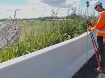
- Services
- Subdivision
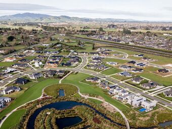
- Residential subdivision
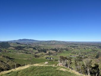
- Boundary relocation subdivision (Rural)
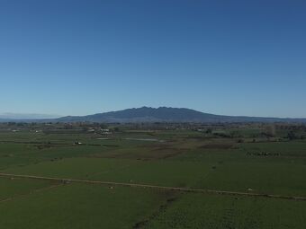
- 40 hectare subdivision (Rural)
- Environmental Benefit Lot subdivision (Rural)
- Land use consent lot subdivision (Rural)
- Transferable Development Right subdivision (Rural)
- Surplus Dwelling subdivision (Rural)
- Commercial or Industrial subdivision
- Large Lot Residential subdivision
- Projects
- Community Support
- Client Testimonials
- Let's Talk