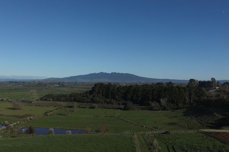
Why a Topographical Survey is Important
A Topographical Survey is used to gather data about the natural and man-made features of the land and is the foundation for any successful project. Topographic maps are used to show elevations and grading features for architects, engineers, and building contractors.
Whether you are building a house, planning a large-scale subdivision or designing infrastructure, a quality topographical survey is imperative. Utilising specialised computer software and appropriate survey equipment, Cogswell can carry out this work accurately and efficiently to provide you with the information that you require.
What Our Clients Say
5 from 32 Google reviews


I highly recommend the Cogswell team for anyone looking for professional, efficient, and supportive guidance through subdivision projects.


Coming into this project with no knowledge, Pete and his team have given us all the confidence in the world and made each part of the process simple. Super efficient, effective, and always available for a chat, they have great business practises and ethics. It’s been a privilege to be part of their community.